


Aerial & Mapping

See your site from above.

Aerial photography and video, property and sports imagery, site documentation, and mapping and GIS learning. Services are in development, with partnership inquiries welcome.

Aerial media · documentation · geospatial

Aerial Media & Geospatial

We start with clear, reliable imagery and add more advanced services only when they’re ready to deliver well.

In development · inquiries welcome

Aerial photo & video

High-quality imagery for property listings, project pages, marketing and communications.

In development · inquiries welcome

Site documentation

Matching before, during and after imagery that builds a useful visual record over time.

In development

Construction progress

Scheduled visual updates to keep owners and stakeholders informed at every milestone.

In development · inquiries welcome

Mapping data

Structured capture that supports maps, measurements and 3D models. About mapping

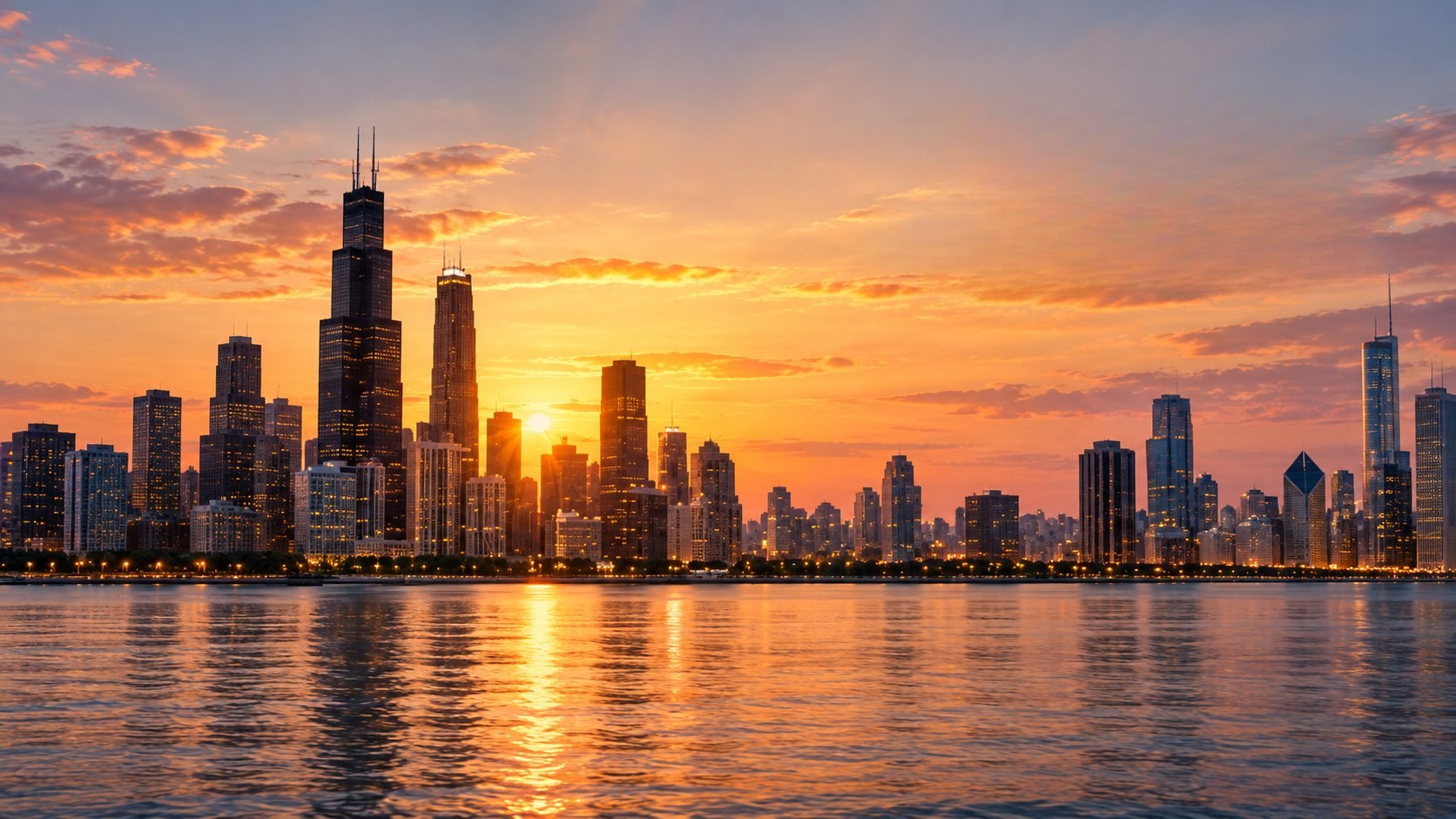
Illustrative image: a drone above a Chicago neighborhood with the skyline in the distance
In development · inquiries welcome

Real estate & property

Aerial imagery shows what ground photos can’t: the whole property, the lot, the block and how close it sits to the lake, parks and downtown. We help agents, owners and developers present Chicago-area properties from their best angle.

  • Listing photos and video
  • Neighborhood and context shots
  • Land and lot visualization
  • Commercial property imagery
  • Development site imagery
  • Facility documentation

Every flight will be planned around FAA rules, neighbors’ privacy and local requirements.

Request property imagery
In development · inquiries welcome

Drones in sports & athletics

Drone technology is changing how sports organizations capture content, document facilities, understand physical spaces and create immersive visual experiences. Careers span aerial media, venue operations, GIS and mapping, construction and facility management, event production, technology operations and emerging sports analytics.

  • Drone pilot: FAA-certificated, safety-first flight operations
  • Aerial media: game-day, venue and marketing content
  • Venue operations: facility documentation and upkeep
  • GIS & mapping: fields, campuses and venue layouts
  • Sports technology: production and tech operations
  • Data & analytics: an emerging field students can explore

Sports media and facility imagery services are in development. Partnership inquiries are welcome. Sports analytics is presented as a career exploration area, rather than a current Maison service.

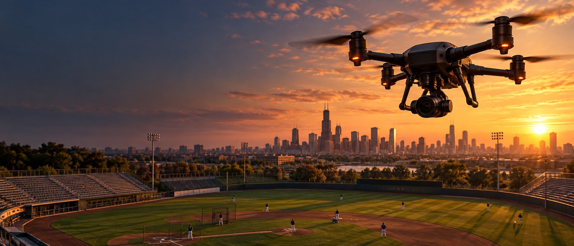
Illustrative image: a drone above a ballpark at sunset with the Chicago skyline beyond

Sports media lead

Adrianna Baptiste

Adrianna Baptiste

Sports Media & Marketing Lead

Adrianna connects Maison’s aerial media with sports, venues, events and fan engagement, drawing on her sports business studies at Arizona State University and her experience with ASU Athletics.

Meet Adrianna

How a project works

Four clear steps from your first call to finished imagery.

  1. Tell us the goal

    What you need to see, where, and who it’s for.

  2. Plan the flight

    Airspace, safety, timing and the shot list.

  3. Capture

    We fly and record on site, following FAA rules.

  4. Deliver

    Edited photos and video, ready to use.

Mapping, GIS & geospatial learning

Mapping & GIS

In development · inquiries welcome

Turn aerial images into actionable information.

Maison Glamour et Grâce is expanding its drone capabilities beyond aerial media into mapping, photogrammetry and geospatial workflows. This growth supports both real-world service applications and workforce learning, so participants can see how drone operations connect to data, GIS, construction technology, infrastructure and emerging careers.

As this capability develops, our mapping work will focus on aerial site documentation, reality capture and GIS-ready imagery. We are not a licensed land-surveying firm and do not provide boundary or legal surveys.

Illustration of a drone mapping survey: flight lines over a site with overlapping photo footprints and ground control points Survey mission Front overlap 75% · Side overlap 70% Altitude 200 ft · 5 ground control pts Flight lines Photo footprints Ground control Site boundary

How aerial mapping works

Most drone mapping projects follow five stages, from the first plan to the final deliverable.

  1. Plan

    Define the site, purpose, safety considerations, desired outputs and data needs.

  2. Capture

    Fly consistent, overlapping aerial imagery and record location data.

  3. Process

    Photogrammetry software matches common features across images and rebuilds the site in 2D and 3D.

  4. Analyze

    Review orthomosaics, surface models, point clouds, measurements and GIS layers.

  5. Deliver

    Package the results so stakeholders can use them to document, plan and communicate.

Who guides the technical side

Gregory Baptiste

Gregory Baptiste

Director of Aviation Systems & Data Operations

Gregory guides the technical infrastructure behind Maison’s UAS operations and mapping workflows, including equipment readiness, data management and quality assurance, drawing on more than a decade in aviation technology and data analytics.

Meet Gregory

Class Project • Applied Learning

From Drone Photographs to a 3D Site Model

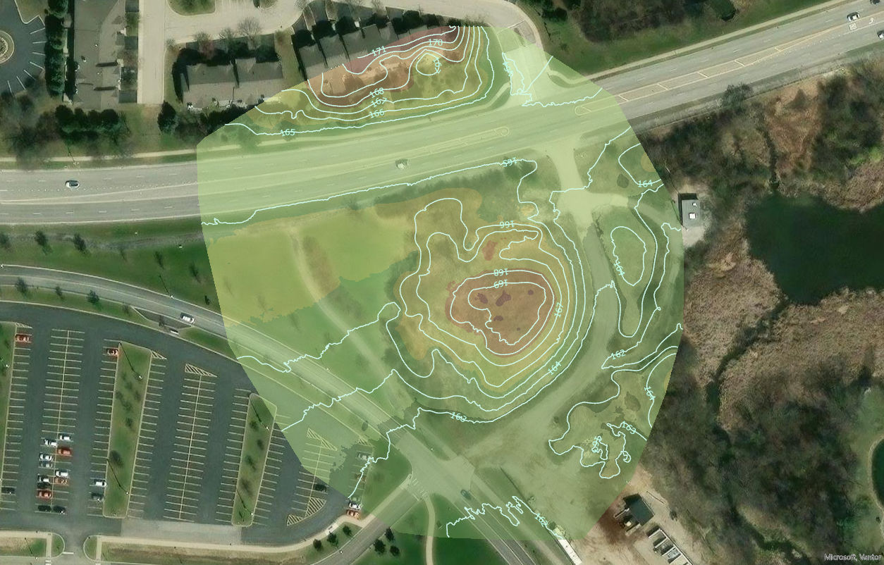
Created by Andrea Davis-Baptiste during drone coursework, this project illustrates how drone photographs can be processed into a three-dimensional view of a site. Explore the model image and accompanying video.

  1. Drone photographsOverlapping aerial images of the site
  2. PhotogrammetryProcessed in PIX4Dmapper
  3. 3D site modelModel image and fly-through video
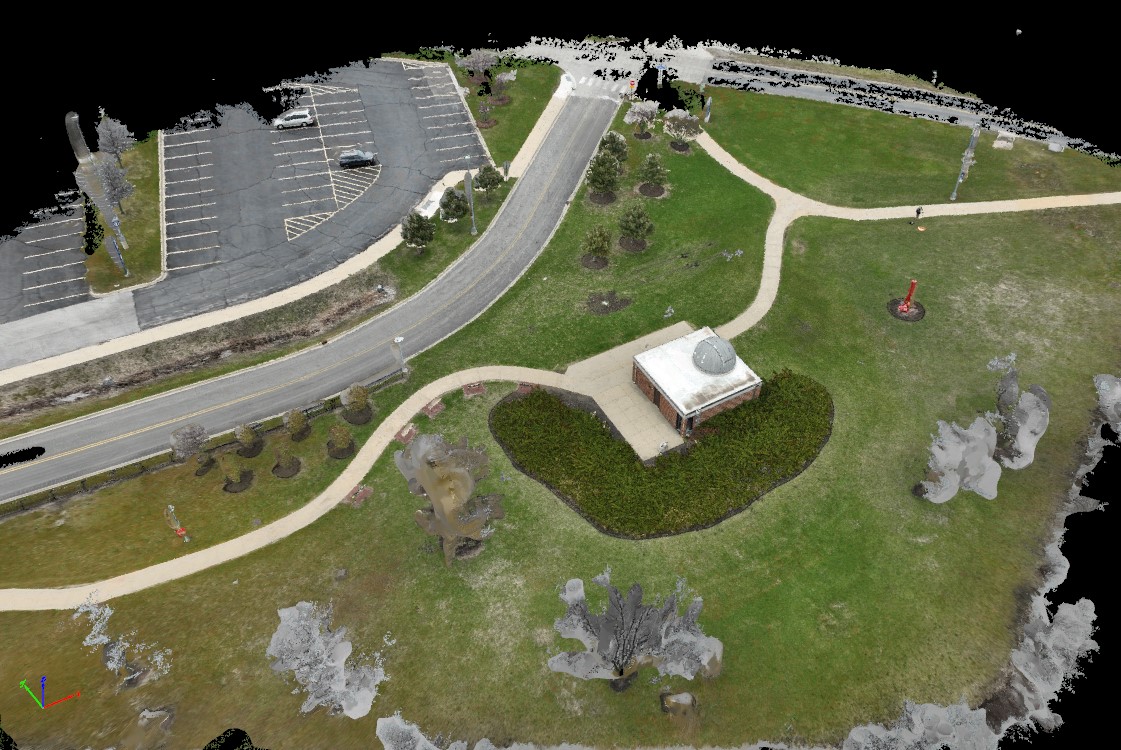
Three-dimensional site model of a small domed observatory building with surrounding paths, lawn, trees, a road and a parking lot, produced from drone photographsSelect to enlarge
Site model image · select to view full size
Model fly-through · about 10 seconds · no sound
Reading the modelWhat the image and video show

Photogrammetry software matched features across overlapping drone photographs and rebuilt the site in three dimensions. Areas that appear grey, patchy or black, such as some trees and the model edges, had less photo coverage. They are shown exactly as the software produced them; nothing has been filled in or regenerated.

This is an educational class project, not a client deliverable or a survey-grade product.

Coursework for DRO 102 at Harper College · Processed in PIX4Dmapper
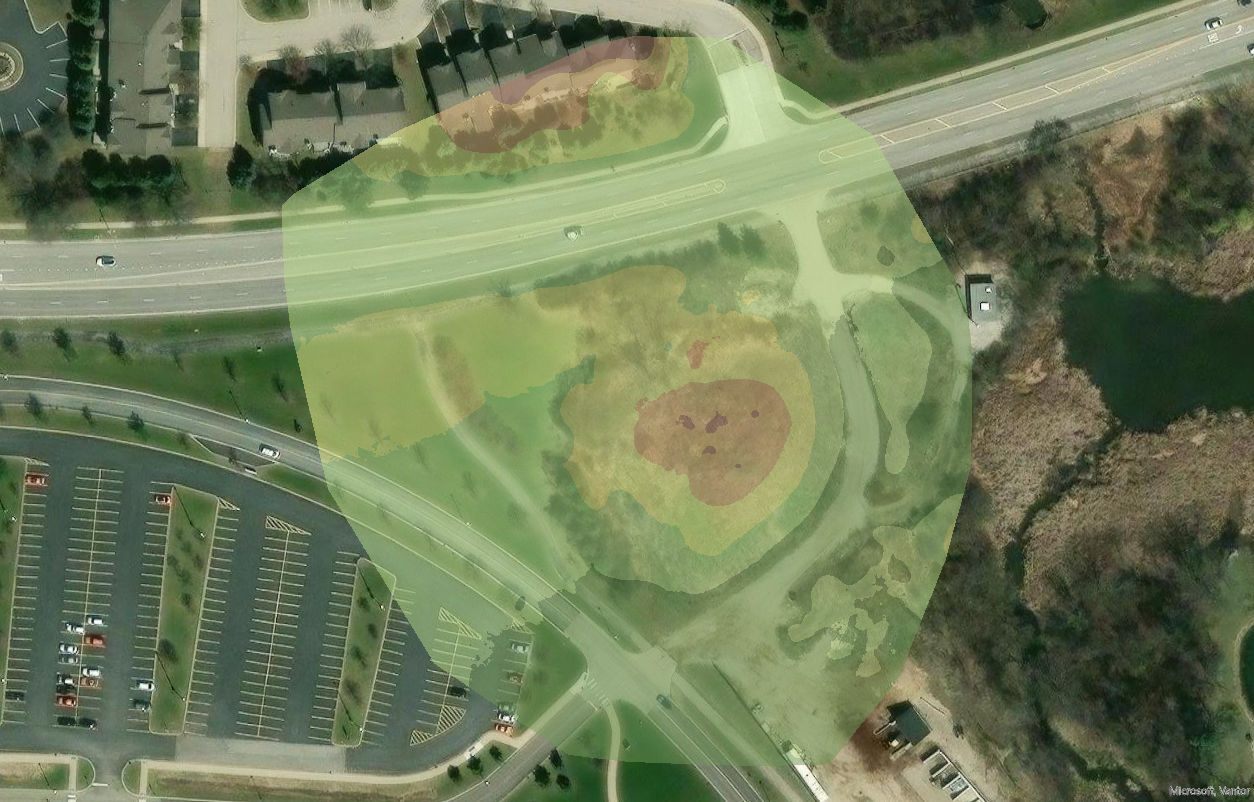
What mapping producesThe common outputs of a drone mapping workflow, in plain terms

Orthomosaic

A single, geometrically corrected image stitched from many overlapping aerial photos, so distances can be measured like a map.

3D point cloud

A dense collection of spatial points representing the shape and surface of a site or object.

Digital surface model

An elevation model showing terrain together with buildings, trees and other above-ground features.

3D model or mesh

A visual three-dimensional representation of structures, terrain or assets.

GIS-ready data

Geospatial outputs that can be layered with other location-based information for analysis.

Change over time

Repeat captures of the same site that show progress and change between visits.

Key ideas behind the mapConcepts that connect flying a drone to producing reliable spatial information

Photogrammetry

Using overlapping photographs and computer processing to derive measurements and 3D information.

Image overlap

Capturing the same ground features in several images so software can match common points.

Geotagging

GPS position data recorded with each photo.

Ground control points

Surveyed reference points on the ground used to improve and verify a map’s positional accuracy.

RTK and PPK

GNSS correction methods that improve location accuracy, applied in real time (RTK) or after the flight (PPK), with compatible equipment.

Where aerial mapping is usedSettings where drone mapping and reality capture add value
  • Construction progress documentation
  • Site visualization
  • Facility and campus documentation
  • Infrastructure asset documentation
  • Land and environmental observation
  • Before-and-after project records
  • GIS-ready imagery
  • Workforce demonstrations and labs
Industry tools learners will meetListed for learning purposes only; we are not affiliated with or endorsed by these companies

DroneDeploy

Reality capture, aerial documentation and site models. Visit site ↗

Esri ArcGIS Drone2Map

2D and 3D photogrammetry integrated with GIS. Visit site ↗

PIX4Dmatic

Photogrammetric processing for larger mapping projects. Visit site ↗

Agisoft Metashape

Photogrammetric processing and 3D spatial data. Visit site ↗

OpenDroneMap / WebODM

Open-source drone image processing. Visit site ↗

Learn more

USGS explains how drones collect mapping data and produce orthomosaics and surface models. USGS on drone mapping ↗

Industries we serveLabels show what is still in development, where we welcome inquiries and what is a career pathway
IndustryWhat it includesStatus
Aerial photography & mediaPhotography, promotional video, event coverage where permitted, branded content and before-and-after documentation.In development · inquiries welcome
Real estate & propertyProperty and land imagery, development progress, neighborhood context and marketing.In development · inquiries welcome
Sports & athleticsFacility and field imagery and sports marketing content, with event coverage only where airspace and FAA rules allow.In development · inquiries welcome
Construction & infrastructureSite imagery and before-and-after documentation, with scheduled progress updates in development.In development · inquiries welcome
GIS & aerial mappingOrthomosaics, point clouds and surface models.In development · inquiries welcome
Architecture, engineering & developmentSite context and planning-support imagery. Not a licensed engineering or surveying firm.In development · inquiries welcome
Environmental & landSite observation, environmental documentation and land-use visualization.Applications & careers
Education & workforce developmentDrone careers, Part 107 pathways, mapping, GIS and AI learning.Partnership inquiries open
Public safety & emergency managementA career pathway we introduce learners to. Not a Maison service.Career pathway
Hospitality, tourism & eventsDestination marketing, venues, hotels and outdoor settings.In development · inquiries welcome
Transportation & logisticsUAS operations, logistics technology and, longer term, drone delivery.Career pathway · future

Discuss your aerial or mapping project.

Start with what you need and we’ll suggest the right first step.