Build something stronger together.
We work with schools, workforce organizations, industry and public agencies to connect people with drone, mapping and AI skills.
Who we partner with
The right starting point depends on who you serve and what success looks like for you.
Education and workforce
School districts, colleges, universities, workforce boards and community programs exploring AI, drones, GIS and career pathways.
Industry and technology
Construction firms, aviation organizations, GIS groups, drone companies and industry associations.
Government and community
Public agencies and community groups focused on access, training and economic opportunity.
Ways we can work together
Possible engagement formats we can explore with partners:
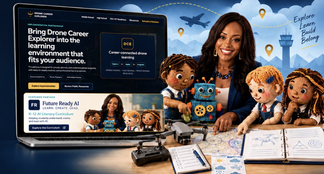
Bring Drone Career Explorer to your learners
Schools, districts and partner programs get ready-to-use toolkits, teacher training and a career-connected drone pathway, alongside Future Ready AI for K–12 AI literacy.
How partnerships usually grow
- Pilot
A small program or project to test fit and results.
- Learn
Professional learning for teachers and staff.
- Expand
Workforce programs and career pathways for more learners.
- Apply
Real aerial or mapping projects as capability grows.
Let’s build a stronger workforce together.
Whether you’re hiring, training, teaching or planning a project, start with what you need and we’ll suggest the right first step.
- Employers and industryBuild a pipeline of people with drone and data skills
- Workforce and community organizationsTraining and pathways into UAS and GIS careers
- Schools and districtsCareer-connected AI and drone programs for grades K–12
- Property and construction teamsAerial photos, video and site documentation