See your site from above.
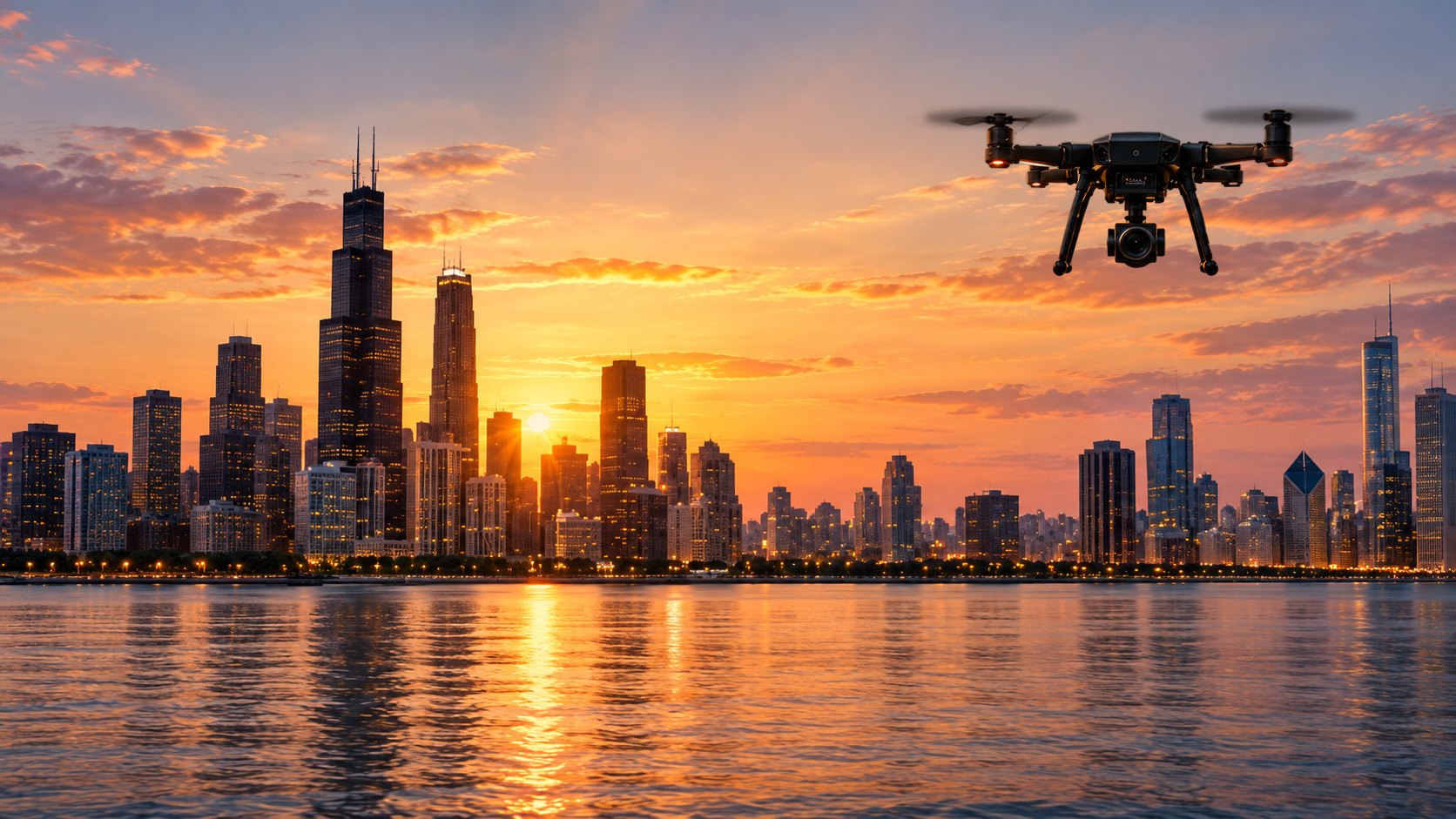
Aerial photos, video and documentation for property, construction and community projects across the Chicago area.
What we capture
We start with clear, reliable imagery and add more advanced services only when they’re ready to deliver well.
Aerial photo & video
High-quality imagery for property listings, project pages, marketing and communications.
Site documentation
Matching before, during and after imagery that builds a useful visual record over time.
Construction progress
Scheduled visual updates to keep owners and stakeholders informed at every milestone.
Mapping data
Structured capture that supports maps, measurements and 3D models. About mapping
We add services only once certification, equipment, insurance, workflows and quality checks are in place, so you always know exactly what you’re getting.
Real estate & property
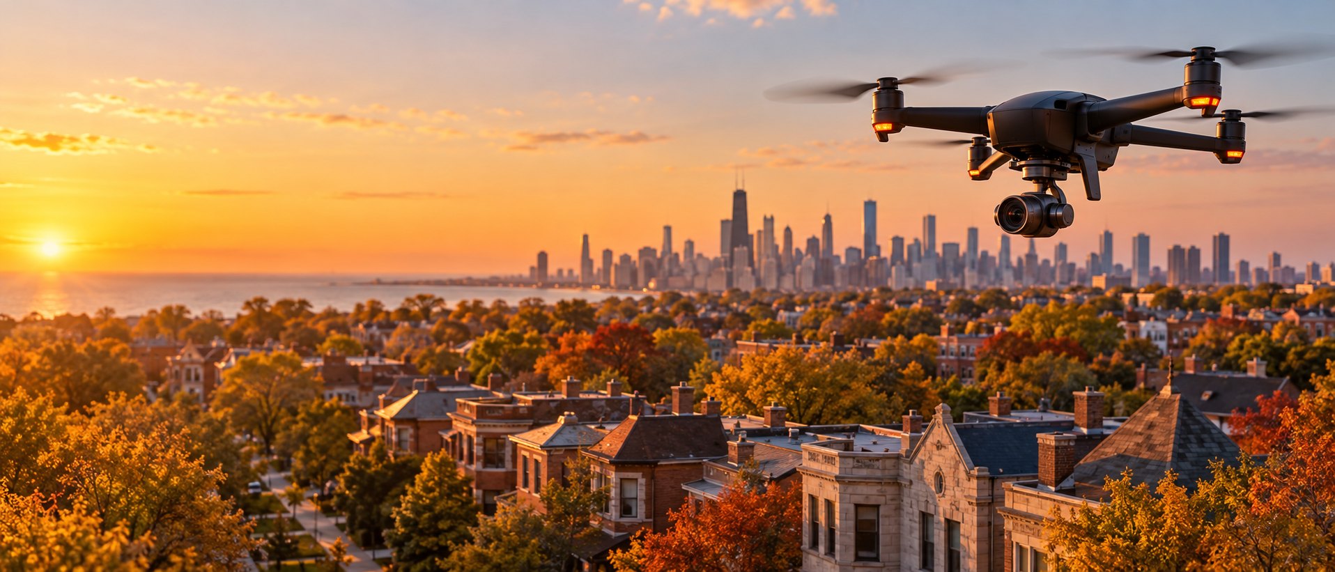
Aerial imagery shows what ground photos can’t: the whole property, the lot, the block and how close it sits to the lake, parks and downtown. We help agents, owners and developers present Chicago-area properties from their best angle.
What’s included
We fly above rooftop level, respect neighbors’ privacy and plan every flight around FAA rules and local requirements.
How a project works
Four clear steps from your first call to finished imagery.
- Tell us the goal
What you need to see, where, and who it’s for.
- Plan the flight
Airspace, safety, timing and the shot list.
- Capture
We fly and record on site, following FAA rules.
- Deliver
Edited photos and video, ready to use.
Let’s build a stronger workforce together.
Whether you’re hiring, training, teaching or planning a project, start with what you need and we’ll suggest the right first step.
- Employers and industryBuild a pipeline of people with drone and data skills
- Workforce and community organizationsTraining and pathways into UAS and GIS careers
- Schools and districtsCareer-connected AI and drone programs for grades K–12
- Property and construction teamsAerial photos, video and site documentation